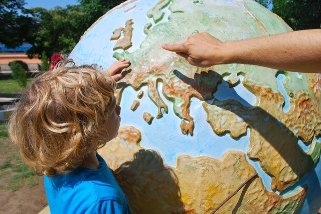
This week we will be focusing on US Geography. While maps, place names, and landmarks are important for young children to learn, geography as a science is far more about how geographic entities and the relationships they have to each other effect the world. Those entities can be real and physical. Examples of a real geographic entity might include a river, a building, a tree, or a road. Other entities can be present on a map, but invisible to the human eye. An entity that is invisible to the human eye could be a border around a city, change in the health of vegetation mapped using infrared imaging, a group of people, or a map of the potential spread of a wildfire or other phenomena. Each of these entities is capable of effecting our world and it is an interesting exercise to get children understanding and maybe even imagining those effects from a young age.
An obvious example of a geographic entity that a child can see if a river. We have one nearby in the San Jac and it is worth a walk in cooler weather. If you can’t find a safe launching point for a walk then there are plenty of creeks/bayous in the Bayou City that can present a similar opportunity for a lesson. Rivers have numerous effects. One look at the brownish water found in the Gulf of Mexico between the mouth of the Mississippi and Trinity Bay where the San Jac meets the Gulf and you should see a river’s ability to carry sediment long distances. If you miss that then a glance at New Orleans might provide a more concrete example. For young children a toy boat tied to a string and placed in a creek or river can help demonstrate the movement of the river in a very concrete way. Rivers also have more non-intuitive effects. As an example, Texas and Louisiana share the Sabine River as a border. As the river continuously erodes and changes its banks, so too does the border between the States change. Whether by removing dirt from one place and transporting it hundreds, or even thousands of miles to another, or changing the size of a State or two, the changes that the river causes are no less real.
Artificial borders can be difficult for a child to comprehend, but the act of driving across State lines where the border isn’t a visible entity can provide an example that they can grasp. One second they are in one State and “POOF” they are now in a new one. “I didn’t see any change!”. Yet there was a change. They entered into the jurisdiction of a new government, laws may have changed, tax rates may have changed (the pack of gum they want might be 3 cents more), speed limits and the cost of exceeding them almost definitely changed (watch it Dad), and new zoning might change things as simple as where they might find a store to get some food. One of the most curious examples of how this type of geographic entity can change human behavior is Vancouver, Washington. Washington State has no income tax and the city of Portland, Oregon, which lies just across the Columbia River, has no sales tax. When we lived in the vicinity those who were remote lived in Vancouver and shopped in Portland. A curious remnant of this geopolitical phenomena was that there were few businesses in Vancouver of the type that would need to charge sales tax. Vancouver was, and is, largely residential, restaurants, and grocery stores. Gas stations are the lone exception as they can be found readily in Washington. It is illegal to pump your own gas in Oregon and along with the rest of the sane universe there is something about paying a bit more for gas just to watch someone else pump it that doesn’t add up. The taxes are tolerated.
Another way children can learn geographic concepts is to create a simple map and then find the “real” entities that the map contains. Find a rainy day when you are trapped indoors and use a mapping app to find some very identifiable entities. Places such as grocery stores and retail outlets that have logos that are recognizable even to children who cannot read are great. Cut out or print logos of some of the places that will appear on your map and then glue them to the page. When the weather clears, set out on a walk of the area your map covers and see if your children can find each logo in relation to the other logos using the map. As an early childhood education entity this is exactly the kind of exercise we might do in our classrooms.
Ultimately, geography is about exploring and better understanding our relationship with the world. This 4th of July week is a great time for us to look at those relationships in the context of the USA. Our final challenge (and depending on your children AND you it can really be a challenge), is to get out and explore the US in something other than an airplane (easy to do when you have 4 kids and you look at the price tag). Yes, it can add a few days to a trip and yes, it can mean having to learn to entertain yourself without digital assistance. It can also build a better appreciation for how the landscapes of the US have affected its residents over the thousands of years that people have occupied this land. We have covered 38 States as a couple, family or individually over the past 25 years and the adventures have far outweighed the occasional boredom. Some of our favorite drives include the I5 corridor from Sacramento to Seattle, Route 66 through the heartland as well as through Texas, New Mexico and Arizona, the stretch from Chattanooga, TN through Virginia and into Washington, DC is an adventure with so many things to see and do along the way that one could make only 100 miles per day if they stopped to enjoy it all. You won’t know your favorite route until you start to explore. Ultimately, the respect and fascination it forms for the unique geography of the United States is worth it.


